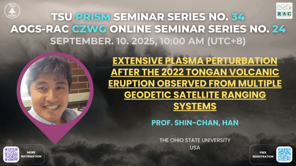
Date: September, 10, 2025, 10:00 AM (UTC+8)
Speaker: Prof. Shin-Chan, Han
Title: Extensive plasma perturbation after the 2022 Tongan volcanic eruption observed from multiple geodetic satellite ranging systems

Biography
Shin-Chan Han is a Professor of Geodetic Science at The Ohio State University, where he joined the School of Earth Sciences in 2025. He received his Ph.D. in Geodetic Science and Surveying from The Ohio State University in 2003, after completing his M.S. at the same institution and his B.S. in Earth Sciences at Seoul National University. Prior to his current position, he served as a Professor at the University of Newcastle in Australia (2015–2025), a Geodesist at NASA Goddard Space Flight Center (2006–2014), and a Research Scientist at Ohio State University (2003–2006).
Dr. Han’s research focuses on satellite geodesy and its applications in understanding Earth and planetary processes, including gravity field variations, earthquakes, tsunamis, hydrology, and ionospheric disturbances. He has been a long-term science team member of NASA’s GRACE and GRACE Follow-On missions and also contributed as a Guest Science Team Member to NASA’s GRAIL mission. His innovative use of satellite measurements has led to significant advances in hydrology, seismology, and oceanography.
Throughout his career, Dr. Han has received numerous honors, including the AGU Geodesy Section Award, NASA’s Early Career Fellowship, and the Robert H. Goddard Honor Award for Exceptional Achievement in Science. He has also played a leading role in international collaborations, such as the development of GNSS analysis software for tsunami early warning.
Abstract
We present a number of unique observations of ionospheric anomalies following the Hunga-Tonga Hunga-Ha’apai (HTHH) volcanic eruption on 15 January 2022. All are based on non-dedicated geodetic satellite systems: Global Positioning System tracking of Low Earth Orbit (LEO) CubeSats, intersatellite tracking between two GRACE Follow-On satellites, satellite radar altimeters to the ocean surface, and Doppler radio beacons from ground stations to LEO geodetic satellites. Their observations revealed the development of anomalously large trough-like plasma depletions, along with plasma bubbles, in the equatorial regions of the Pacific and East Asian sectors. Trough-like plasma depletions appeared to be confined within approximately ±20° magnetic latitude, accompanied by density enhancements just outside this latitude range. The plasma depletions and enhancements were aligned with the magnetic equator and occurred across broad longitudes. They were detected in regions where atmospheric waves from the HTHH eruption passed through around the time of the sunset terminator. All of these observations suggest that the dynamo electric fields driven by atmospheric waves from the eruption caused uplift of the ionosphere beyond satellite altitudes, followed by subsequent plasma diffusion to higher latitudes along magnetic field lines, and finally trough-like plasma depletions and bubbles were generated in the equatorial regions. At the end of the presentation, I will also show CubeSat GPS observations of the oceanic gravity wave (tsunami) associated with the HTHH eruption and discuss feasibility of using the constellation for tsunami and geohazard monitoring and warning systems.