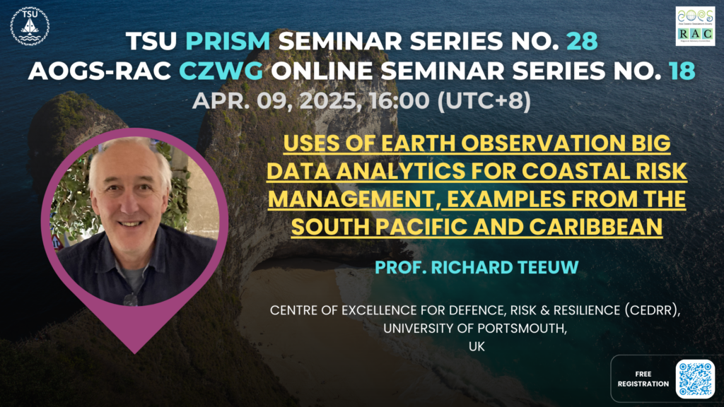
Date: April 09, 2025, 16:00 (UTC+8)
Speaker: Prof. Richard Teeuw
Title: Uses of Earth Observation big data analytics for coastal risk management, examples from the South Pacific and Caribbean
Prof. Richard Teeuw
Biography
Dr. Richard Teeuw is a Professor of Geoinformatics and Disaster Risk Reduction at the University of Portsmouth, UK. His area of expertise is the application of low-cost or free geoinformatics, integrating satellite and drone imagery with GIS, for mapping and monitoring hazards, vulnerable features, coastal habitats, bathymetry, groundwater, and mineral resources.His research is focused on climate change adaptation, disaster risk reduction, and capacity building in developing countries. He has provided consultancy services for a number of international development agencies, including CIDA, GTZ, JICA, DfID, and the UN World Food Programme, and his current projects are located in the Caribbean, Madagascar, Mozambique, West Africa, Colombia, and the South Pacific.
Abstract
Climate-driven geohazards are causing enormous human and economic losses globally. Tropical island states tend to have limited financial and human resources with which to develop climate change resilience, and yet they are expected to face bigger changes in climate than mid-latitude countries.
Those island states that are archipelagos face further problems when preparing for, and responding to, disaster events. That is primarily because of their many widely dispersed communities, as well as logistical issues associated with mapping the resources and risks of numerous remote islands. For instance, with Fiji, Vanuatu and the Solomon Islands there are some 1,400 islands, of which about 500 are inhabited.
The CommonSensing project, funded by the UK Space Agency, has developed various satellite-derived datasets, covering all the islands of Fiji, Vanuatu and the Solomon Islands, to assist the mapping of hazard zones, vulnerable features and exposed elements.
Archipelago-wide maps of the Low Elevation Coastal Zone have been produced from the 12.5m-pixel PALSAR DEM, assisting the mapping of slope and drainage hazard zones. Further country-wide mapping was applied to coastal relative bathymetry, down to approximately 30m depth, using Sentinel-2 imagery, from which wave run-up hazard maps can be derived to highlight high-risk communities.
The application of freely-available satellite-derived datasets, applying recent software developments, such as big data analytics and Machine Learning, with Open Data Cube and Geosever platforms, can provide essential map data to inform coastal risk analysis and disaster preparedness activities, even with regard to remote island communities.
Beyond satellite data, Uncrewed Aerial Vehicles (aka ‘drones’) can provide cm-detail imagery and 3-D digital twins of features in communities – such as roads, buildings and trees – for more detailed assessments of risk. An example is provided from the coast of Dominica, a Caribbean Small Island Developing State, of a decision support system for improved community resilience.

發佈留言