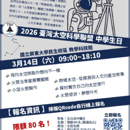
日期:11/28(五)14:40-16:10
地點:科技大樓二樓研討會及第13會議室
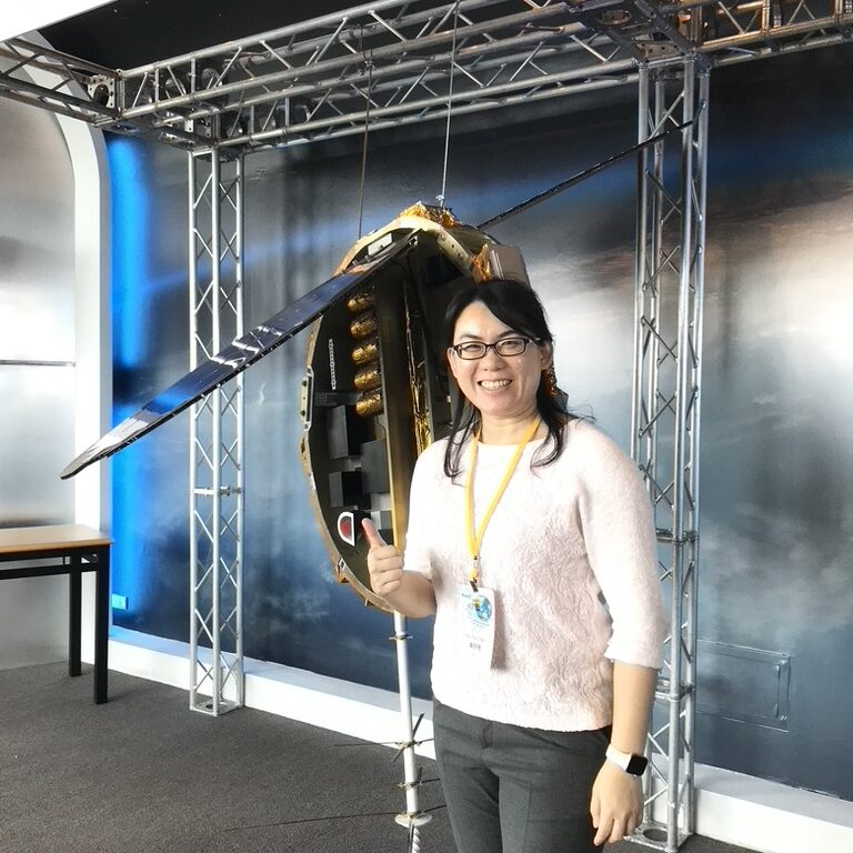
主持人:周崇光 研究員兼副主任(中央研究院環境變遷研究中心)
韓仁毓 教授(國立臺灣大學土木工程學系)
| 時間 | 講者 |
|---|---|
| 14:40-14:50 | 福衛七號大氣掩星資料反演加值與應用 (摘要) 陳舒雅 副研究員 (國立中央大學全球大氣觀測與資料應用研究中心) |
| 14:50-14:57 | Advancing the Application of FORMOSAT Products in Atmospheric Convection Process Studies through Synergistic Integration of Multi-Satellite Data (摘要) (簡報) 陳維婷 副教授 (國立臺灣大學大氣科學系暨研究所) |
| 14:57-15:04 | 獵風者衛星GNSS資料加值與應用 (摘要) 楊舒芝 教授 (國立中央大學大氣科學學系) |
| 15:04-15:11 | 自主式太空天氣預報系統研發 (摘要) (簡報) 陳佳宏 副教授 (國立成功大學地球科學系) |
| 15:11-15:18 | 增進水氣資訊之監測及推估於福衛星系之驗證與未來衛星任務效益評估 (摘要) 劉千義 副研究員 (中央研究院環境變遷研究中心) |
| 15:18-15:25 | 太陽活動、磁暴擾動電離層與GNSS-RO/R觀測之衝擊 (摘要) (簡報) 林建宏 教授 (國立成功大學地球科學系) |
| 15:25-15:32 | 米級高解析度 InSAR 於土石壩變形之監測應用 (摘要) (簡報) 翁孟嘉 教授 (國立陽明交通大學土木工程學系) |
| 15:32-15:39 | 無人載具合成孔徑雷達與福衛九號系統的應用與加值研究 (摘要) 張陽郎 教授 (國立臺北科技大學電機工程系) 古瓊昇 助理教授 (國立臺北科技大學太空系統工程研究所) |
| 15:39-15:46 | SAR成像與光學影像異質融合技術及應用於碳儲量變化之驗證 (摘要) 李佩君 教授 (國立臺灣科技大學電子工程系) |
| 15:46-15:53 | 次米級X波段SAR與高解析光學影像融合技術驅動精準作物分類 (摘要) 林玉儂 副研究員 (中央研究院地球科學研究所) |
| 15:53-16:00 | 利用多時序與多感測衛星遙測影像融合提升都會區與基礎設施監測能力 (摘要) 莊昀叡 副教授 (國立臺灣大學地理環境資源學系) |
| 16:00-16:10 | 綜合討論 |
主持人
周崇光 研究員兼副主任(中央研究院環境變遷研究中心)

學歷 / Education
Ph.D.: Environmental Engineering, National Central University, Taiwan
經歷 / Experience
2024.01 – present: Deputy Director, Research Center for Environmental Changes, Academia Sinica
2023.01 – 2024.01: Coordinator of Earth System Science (ESS), Taiwan International Graduate Program (TIGP), Academia Sinica
2021.01 – 2024.01: CEO of Air Quality Research Center, Research Center for Environmental Changes, Academia Sinica
2013.01 – present: Adjunct Professor, Department of Atmospheric Sciences, National Central University
2012.01 – present: Research Fellow, Research Center for Environmental Changes, Academia Sinica
研究專長 / Research Expertise
東亞大陸空氣污染物及台灣地區背景空氣品質之長期變遷趨勢
臭氧及氣膠的生成、轉化、傳輸及相關之空氣污染防制策略
More…
韓仁毓 教授(國立臺灣大學土木工程學系)
學歷 / Education
美國普渡大學土木工程學院博士
經歷 / Experience
現任: 國立臺灣大學土木工程學系教授
現任: 國科會自然處空間資訊科技學門召集人
現任: 國家地震工程研究中心與臺大土木系合設人工智慧研究中心副主任
2016.08 – 2019.07: 國立臺灣大學土木工程學系副系主任
2011.07 – 2015.07: 國立臺灣大學土木工程學系副教授
2007.02 – 2011.07: 國立臺灣大學土木工程學系助理教授
2006.06 – 2007.01: 美國普渡大學博士後研究員
研究專長 / Research Expertise
應用衛星大地測量
高精度變形監測
動態坐標系統
整合式空間資訊處理與分析
More…
講者
陳舒雅 副研究員(國立中央大學全球大氣觀測與資料應用研究中心)
學歷 / Education
國立中央大學博士
經歷 / Experience
2025–Present:
國立中央大學全球大氣觀測與資料應用研究中心 副研究員
Associate Research Fellow, NCU/GAODARC, Taiwan
2021–2025:
國立中央大學全球定位科學與應用研究中心 副研究員
Associate Research Fellow, NCU/GPSARC, Taiwan
2016–2021:
國立中央大學全球定位科學與應用研究中心 助理研究員
Assistant Research Fellow, NCU/GPSARC, Taiwan
2014–2015:
美國大氣科學研究大學聯盟COSMIC計畫室 專案科學家
Project Scientist, UCAR/COSMIC, U.S.A.
2011–2014:
美國大氣科學研究大學聯盟COSMIC計畫室 博士後研究員
Postdoctoral Fellow, UCAR/COSMIC, U.S.A.
研究專長 / Research Expertise
GNSS掩星資料、資料同化、數值天氣模擬
GNSS Radio Occultation Data
Data Assimilation
Numerical Weather Prediction
More…
陳維婷 副教授(國立臺灣大學大氣科學系暨研究所)
學歷 / Education
美國加州理工學院博士
經歷 / Experience
2021.09 – Present: Joint Associate Professor, International Degree Program in Climate Change and Sustainable Development, National Taiwan University, Taipei, Taiwan
2020.09 – Present: Associate Professor, Department of Atmospheric Sciences, National Taiwan University, Taipei, Taiwan
2012.08 – 2020.08: Assistant Professor, Department of Atmospheric Sciences, National Taiwan University, Taipei, Taiwan
研究專長 / Research Expertise
Dr. Wei-Ting Chen’s major research direction is to apply the satellite-retrieved cloud and precipitation products and a hierarchy of atmospheric models (CRM, CESM, SPCAM) to investigate the multi-scale convections over Asian monsoon regions and their interactions with the large-scale environment in a changing climate.
More…
楊舒芝 教授(國立中央大學大氣科學學系)
學歷 / Education
美國馬里蘭大學博士
Ph.D., University of Maryland, USA
經歷 / Experience
國立中央大學大氣科學系教授
Professor, Department of Atmospheric Sciences, National Central University
曾任職於美國國家航空暨太空總署 (NASA) 擔任博士後研究員 Postdoctoral Researcher, NASA
曾獲「台灣傑出女科學家獎」新秀獎
Recipient of the “Taiwan Outstanding Women in Science Award”
研究專長 / Research Expertise
大氣模式系集資料同化與預報、氣象GNSS資料應用
Data assimilation and prediction for atmospheric models, Meteorological GNSS data applications
More…
陳佳宏 副教授(國立成功大學地球科學系)
學歷 / Education
日本京都大學地球惑星科學博士
經歷 / Experience
2020.08 – 迄今: 國立成功大學地球科學系 副教授
2017.08 – 2020.07: 國立成功大學地球科學系 助理教授
2014.01 – 2017.07: 國立成功大學地球科學系 助理研究員
2012.04 – 2013.12: 國立成功大學地球科學系 博士後研究員
研究專長 / Research Expertise
資料同化
電離層物理
太空天氣
More…
劉千義 副研究員(中央研究院環境變遷研究中心)

學歷 / Education
Ph.D., University of Wisconsin-Madison, USA
經歷 / Experience
2021.09 – Present: Associate Research Fellow, Research Center for Environmental Changes, Academia Sinica
2021.08 – Present: Professor, Center for Space and Remote Sensing Research, National Central University, Taiwan
2016.08 – 2021.07: Associate Professor, National Central University, Taiwan
2011.08 – 2016.07: Assistant Professor, National Central University, Taiwan
研究專長 / Research Expertise
Meteorological Satellite Remote Sensing
Atmospheric Radiation
Atmospheric Physics
林建宏 教授(國立成功大學地球科學系)
學歷 / Education
國立中央大學太空科學研究所理學博士
經歷 / Experience
2016.08 – 迄今: 國立成功大學地球科學系教授
2013.02 – 2016.07: 國立成功大學地球科學系副教授
2010.02 – 2013.01: 國立成功大學地球科學系助理教授
研究專長 / Research Expertise
大氣垂直耦合、導航衛星觀測、電離層模擬、太空天氣
More…
翁孟嘉 教授(國立陽明交通大學土木工程學系)

國立台灣大學土木系博士(2002),專長岩石力學、工程地質、材料組成律及數值分析。土木技師、大地技師與結構技師,曾擔任中興顧問社地工中心研究員(2004-2006),之後進入國立高雄大學任教員(2006-2017),2011年至美國哥倫比亞大學擔任訪問學者,2017年轉至交大土木系任教。2018年以來,主持水利署「蓄水與引水建造物檢查及安全評估專業服務計畫」(2018~2023年),除針對國內各水庫安全評估報告進行審查外,並負責「水利建造物檢查及安全評估技術規範」修訂,目前已順利頒布施行。自2006年以來發表期刊論文91篇。曾獲得Outstanding Editorial Board Member Award, Engineering Geology、中國工程師學會及中國土木水利學會論文獎、「大地工程研討會優良論文獎」2次、「岩盤工程研討會特優論文獎」6次、「GeoChina 2021 Best Paper Award」、國際岩石力學學會(ISRM)研討會Outstanding poster award,並指導學生獲得多次大地工程學會碩士論文獎。目前擔任中華民國大地工程學會理事長、中華民國岩盤工程暨工程地質學會副理事長、地工技術總編輯、Journal of Materials in Civil Engineering, ASCE副主編、Journal of GeoEngineering期刋編輯、Engineering Geology客座主編與編輯委員、中國土木水利學會學術與教育委員會副主任委員。
More…
張陽郎 教授(國立臺北科技大學電機工程系)

Professor of Electrical Engineering & Dean of College of Electrical Engineering and Computer Science
Research : High Performance Computing, Deep Learning, Pattern Recognition, Image Processing, Remote Sensing Images, and Digital System
Ph. D. in Computer Science and Information Engineering, National Central University
More…
古瓊昇 助理教授 (國立臺北科技大學太空系統工程研究所)

Chiung-Shen Ku received the B.S. degree in Physics from National Central University, Taiwan, in 2005, the M.S. degree in Remote Sensing Science and Technology from National Central University, Taiwan, in 2012, and the Ph.D. degree in Communication Engineering from National Central University, Taiwan, in 2020. He is currently an with the Institute of Aerospace and Systems Engineering, National Taipei University of Technology, Taiwan. His research interests include synthetic aperture radar system design and imaging algorithms, radar signal processing, microwave remote sensing, wireless communications, microwave circuits, and antenna measurements.
More…
李佩君 教授(國立臺灣科技大學電子工程系)
學歷 / Education
臺灣大學電機博士
經歷 / Experience
臺灣科技大學 電子系教授
2023.01 – 迄今: IEEE CTSoc, WIE Chair/ Region 10 Director
2022.03 – 迄今: IEEE CTSoc Taipei Chapter Chair
2020.10 – 迄今: IET Taipei chapter 理事
2018.06 – 2022.10: 中華民國消費電子學會 理事長
研究專長 / Research Expertise
人工智慧之機器視覺預估、衛星影像、2D/3D 轉換技術、Multi-view video coding、視訊編碼、視訊傳輸、影像處理及應用、FPGA 設計與應用、IC電路設計
More…
林玉儂 副研究員(中央研究院地球科學研究所)
學歷 / Education
加州理工學院 地質與行星科學系 博士
經歷 / Experience
2025.01 – 迄今: 中央研究院地球科學研究所,副研究員Institute of Earth Sciences, Academia Sinica, Associate Research Fellow
2018.01 – 2024.12: 中央研究院地球科學研究所,助研究員
Institute of Earth Sciences, Academia Sinica, Assistant Research Fellow
2017.01 – 2018.12: 南洋理工學院地球觀測中心,博士後研究員
Earth Observatory of Singapore, Nanyang Technological University, Postdoctoral Research Fellow
2013.01 – 2017.12: CGG Singapore, 計畫主持人
CGG Singapore, Project Leader
研究專長 / Research Expertise
合成孔徑雷達資料處理與解釋
雷達變遷偵測
地殼變形觀測與模擬
More…
莊昀叡 副教授(國立臺灣大學地理環境資源學系)
莊昀叡博士為美國印第安納大學地質科學博士,主修地球物理、輔修數學,並於美國中央華盛頓大學取得地質學碩士學位。研究內容長期結合多種測量與空間資訊技術,應用於地表作用、構造地形、活動構造及地殼變形等議題。現帶領研究團隊聚焦三大方向:地形演育監測與地表作用分析、多源測量與空間資訊技術整合應用,以及自然災害之評估與防災研究。研究內容涵蓋GNSS、InSAR與UAV等技術資料並結合物理模型與數值模擬探討地殼變形機制,應用於地震模型推估斷層活動特性與發震潛能、大規模崩塌、河道地形變遷與地表地形變形監測等。研究區域以台灣為主,並與美國NASA、USGS、日本JAXA及京都大學等多所大學等國際研究機構合作。
More…